
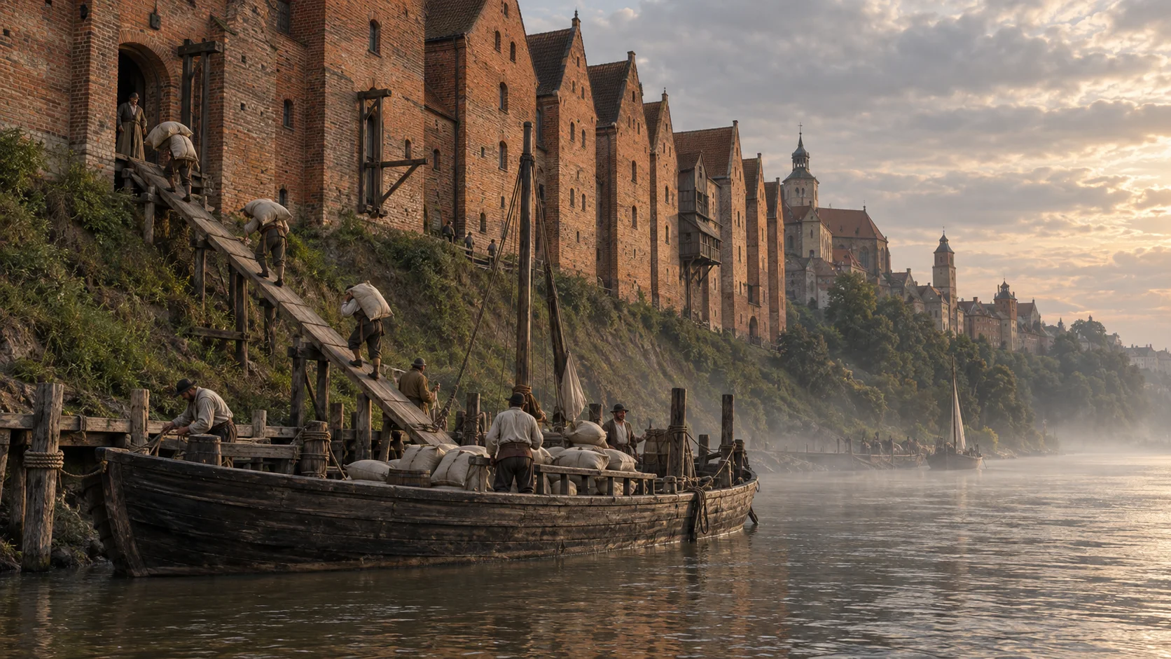
AI illustration
Imagined period town; smoke is an animation effect.
Town
Grudziądz
Swedish forces held Grudziądz from late 1655 until Jerzy Sebastian Lubomirski's troops retook it in the 1659 campaign.
Granaries above the Vistula
The distinctive granary row rises above the high Vistula bank. The earliest, known as Bornwald’s granary, was built in 1346–1351, with others following in the fourteenth century. Fourteen existed in 1504. Eight burned during the fighting of 1659 and were rebuilt only in the late eighteenth century. Today’s skyline consequently shows later forms containing older fabric, rather than a group unchanged since the Deluge. Further destruction in 1945 was followed by reconstruction1.
A city occupied for years
Swedish forces occupied Grudziądz from late 1655. Troops under Jerzy Sebastian Lubomirski retook it during the 1659 campaign. According to the Grudziądz museum, the fighting left the city almost completely destroyed2.
What the source does not establish
The event page gives the campaign and commander, but the available museum note does not establish the exact day the city fell. The marker locates the historic town, not the troops' positions2.
Walls, gates and water
The medieval defensive system developed from the early fourteenth century. It included five gates and ten towers, although later demolition removed sections. Surviving fragments still reveal the former town boundary. A water tower remains at the south-eastern corner, associated with drawing water from the Trynka Canal. It recalls an everyday requirement within the fortified town: supplying its inhabitants. Looking at the defences alongside the granaries gives a fuller picture of urban infrastructure3.
Castle Hill as an archaeological site
Castle Hill offers another way to encounter the past: through building traces formerly hidden underground. Excavations early in the twenty-first century uncovered foundations that were subsequently displayed as permanent ruins. This differs from rebuilding granaries: parts of the former complex remain visible without recreating the entire building4.
The Water Gate after the fire of 1659
The Water Gate also records changes following the Deluge. The museum describes the fire of 1659, after which additional storeys were built above the fourteenth-century pointed-arch passage. Other gates were demolished in the nineteenth century, and nearby buildings obstructed access to this survivor. For a time, passage used an opening in the western wall and external stairs to the riverside meadows. Further damage came in the Second World War. Its history combines destruction, reconstruction and changing movement between town and river5.
Notes
- Spichrze, Muzeum im. ks. dr. Władysława Łęgi w Grudziądzu
- Odzyskanie Grudziądza, Aktualności muzeum, Grudziądz: Muzeum im. ks. dr. Władysława Łęgi w Grudziądzu
- Zabytki Grudziądza, Urząd Miejski w Grudziądzu
- Góra Zamkowa i Wieża Klimek, Muzeum im. ks. dr. Władysława Łęgi w Grudziądzu
- Zabytek miesiąca lata 2023–2024 – Brama Wodna, Muzeum im. ks. dr. Władysława Łęgi w Grudziądzu
Explore further
Related
Related
- Recapture of Grudziądz Documented
- Jerzy Sebastian Lubomirski Historical figure
Sources for this page
- Spichrze, Muzeum im. ks. dr. Władysława Łęgi w Grudziądzu (Institution)
- Odzyskanie Grudziądza, Aktualności muzeum, Grudziądz: Muzeum im. ks. dr. Władysława Łęgi w Grudziądzu (Institution)
- Zabytki Grudziądza, Urząd Miejski w Grudziądzu (Institution)
- Góra Zamkowa i Wieża Klimek, Muzeum im. ks. dr. Władysława Łęgi w Grudziądzu (Institution)
- Zabytek miesiąca lata 2023–2024 – Brama Wodna, Muzeum im. ks. dr. Władysława Łęgi w Grudziądzu (Institution)